CASE STUDIES
UNDERSTAND concise, insight-rich case studies showcasing how geospatial & allied technologies solve real challenges across industries. Each case study highlights the problem, the solution, and the measurable outcomes, giving you clear takeaways. Browse, learn, and get inspired to drive smarter decisions in your own projects.

Visualizing Insights for Fertilizer in African Agriculture (VIFAA) – Ghana Cropland Mapping and Geospatial Intelligence for Agricultural Productivity
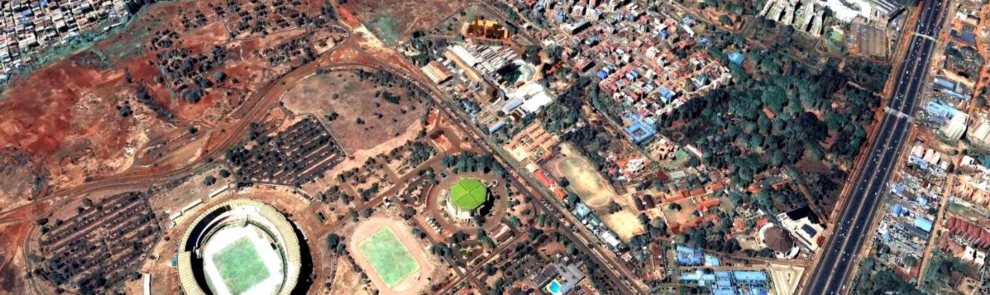
Integrated Urban Data Platform for Sustainable and Resilient Cities in Kenya through Earth Observation

Satellite-Driven Farm Productivity Monitoring and Credit Validation for Smallholder Farmers in Nigeria

High-Resolution Hydrological Mapping and Watershed Analysis of Sitamarhi District using Photogrammetry and Satellite Imagery

Smart Agro-GIS for Sustainable Date Palm Cultivation: A Geospatial and AI-Driven National Plantation Strategy in Oman
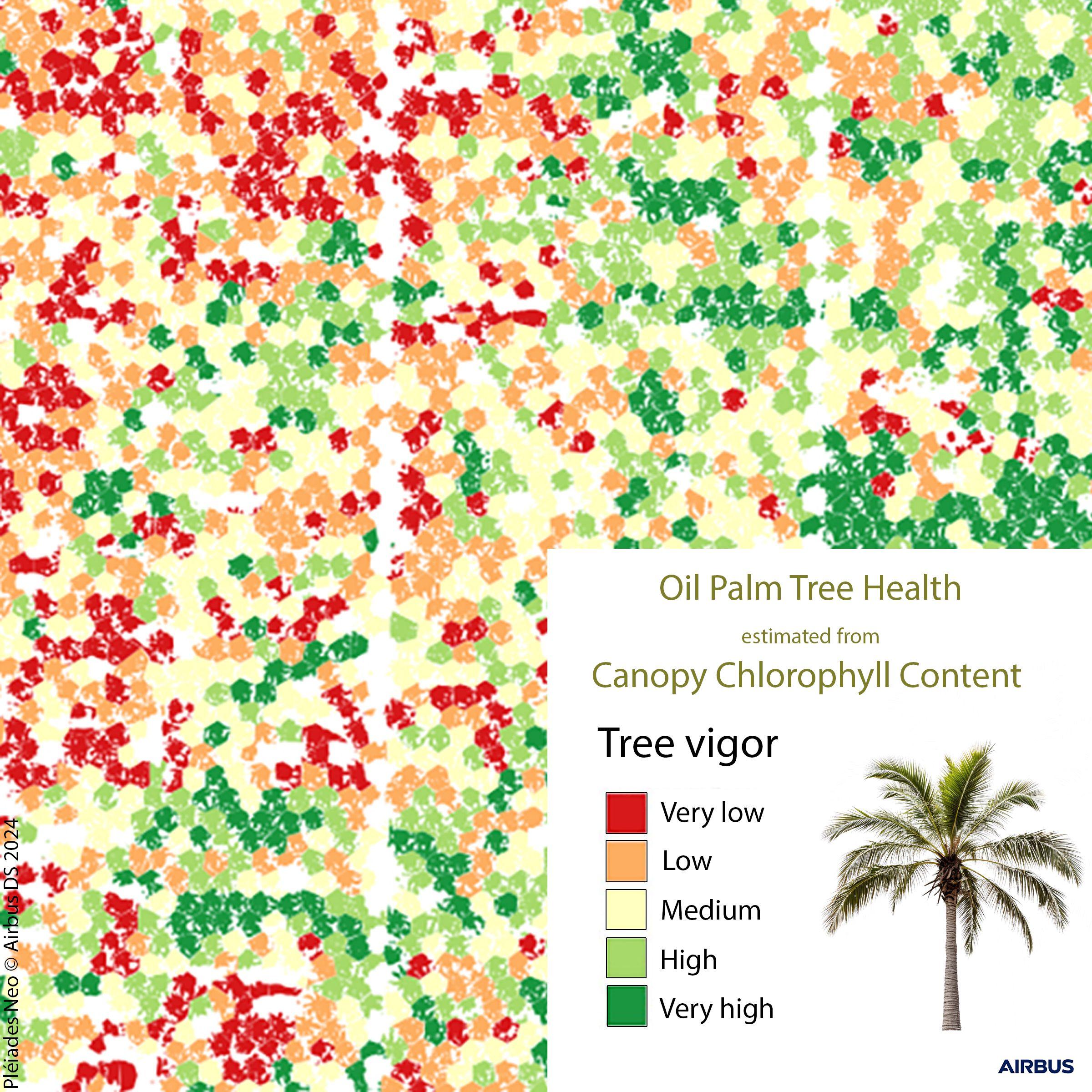
Red-Edge Intelligence: Satellite-Driven Precision Monitoring of Oil Palm Tree Health in Malaysia

GIS-Led Business Process Transformation for Accelerated Fibre Network Deployment in Northern Ireland

Location Intelligence-Driven Market Optimization and Field Coverage Modeling using ArcGIS Business Analyst

GInfo Hong Kong: Smart Geospatial Infrastructure for Landslide Risk Management

Enterprise GIS Standardization and Cloud Integration for Operational Excellence at Liberty Utilities

Mapping Hunger to End It: GIS-Powered Pop-Up Markets and Equity-Focused Food Distribution in North Carolina

Empowering Strategic Business Decisions with Location Intelligence: Datastory and Esri