CASE STUDY
Wisconsin Municipal Electric Utility uses Geospatial Innovation for Asset Management and Utility Asset Simplification
Sector : Energy and Utilities I Geography : North America/Central America/Caribbean I Country : USA
Case Study
Wisconsin Municipal Electric Utility uses Geospatial Innovation for Asset Management and Utility Asset Simplification
Sector | Energy and Utilities|Geography | North America/Central America/Caribbean|Country | USA
Wisconsin Municipal Electric Utility uses Geospatial Innovation for Asset Management and Utility Asset Simplification
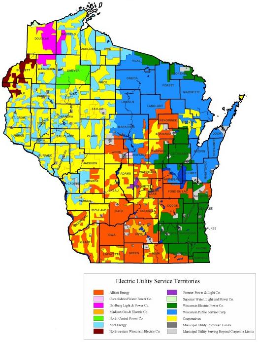
Source: Wisconsin Electric Cooperative Association (WECA)
Project Details
- The City of Sheboygan Falls Utilities (SFU) initially stored information regarding the city's primary and secondary networks in a CAD file and printed map books. However, the printed maps proved to be cluttered and lacked completeness. While the CAD map provided a simplified graphical overview, such as straight lines indicating underground wires, they often fell short in real-world scenarios, leading to reliability issues. Additionally, the field team had to conduct on-site inspections. Recognizing these limitations, SFU identified the need for a transition to digital maps in 2021 to enhance inspection accuracy.
- To modernize their processes, SFU decided to bring mapping in-house, which resulted in an improved level of community service. This initiative streamlined the sharing of information between field teams and the office, leading to enhanced customer care with faster and more accurate responses. Furthermore, it established a secure and real-time information-sharing system.
Solutions
Product Used
Value Propositions
Return on Investment (RoI)
GeographyNorth America/Central America/Caribbean
CountryUSA

Project Owner
Sheboygan Falls Utilities, The City of Sheboygan Falls

Project/Technology Stakeholder
OpenPoint, LLC.; Eos Positioning Systems®, Inc. (Eos); Esri; Autodesk Inc.

Completed Year/Projected Completion Year2022
Technology Used
Sector Focus
SDGs
Recognition/ Awards