CASE STUDY
Utilizing Drones to Empower Conservation and Preserve the Amazon
Sector : Natural Resources and Environment I Geography : Latin America/South America I Country : Peru
Case Study
Utilizing Drones to Empower Conservation and Preserve the Amazon
Utilizing Drones to Empower Conservation and Preserve the Amazon
Source: ARCAmazon
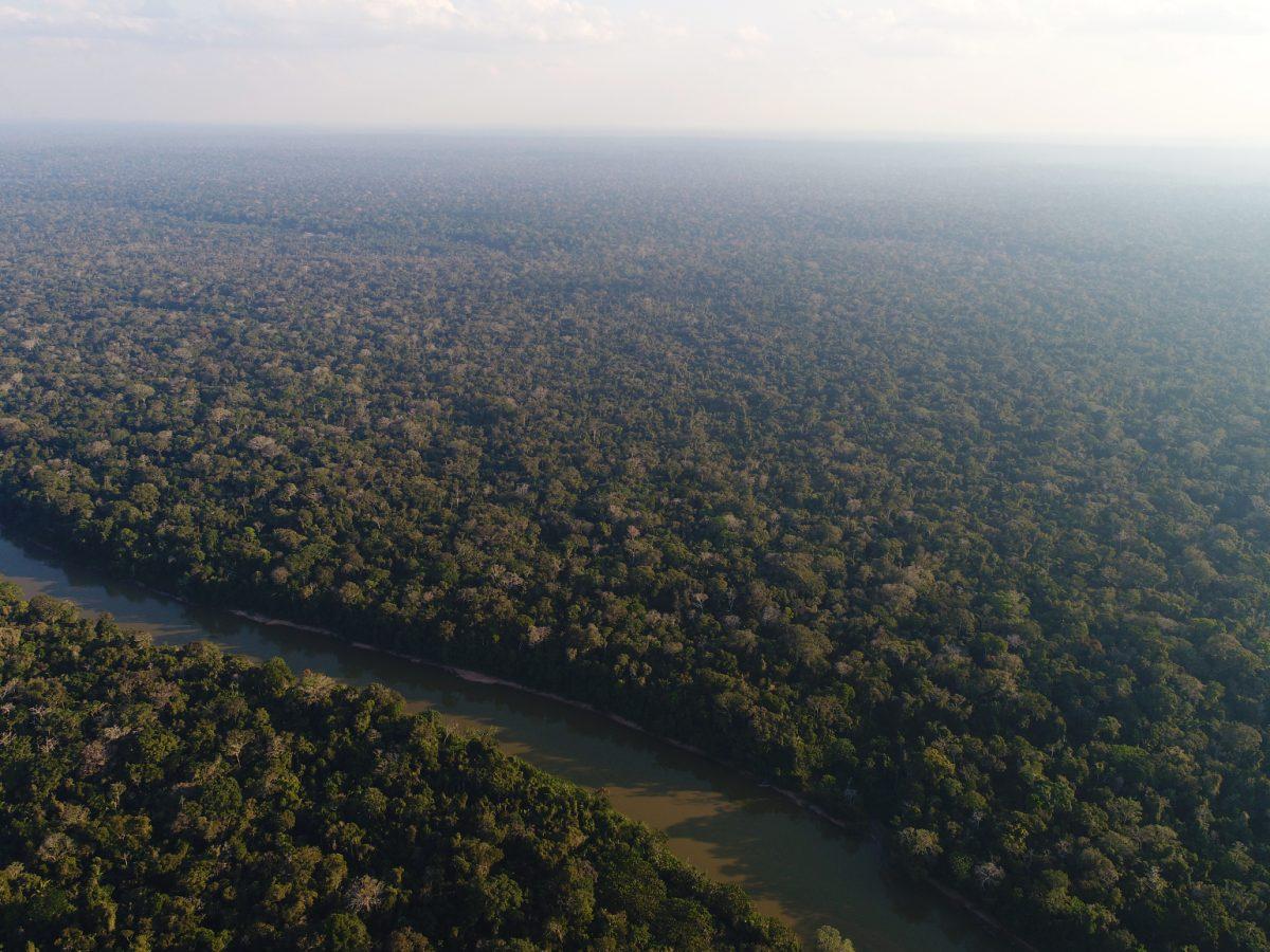
Wilderness International, an NGO dedicated to preserving wilderness areas, embarked on a mission to protect the Amazon rainforest in Peru. Recognizing the urgent need to safeguard this vital ecosystem from deforestation, Wilderness International utilized advanced drone technology and PIX4Dmatic software to map and monitor the rainforest's health. The project involved mapping 3,000 hectares of dense rainforest, capturing RGB, multispectral, and LiDAR data to assess vegetation health, detect illegal logging activities, and provide transparency to donors.

Wilderness International

Pix4D SA; QUANTUM-SYSTEMS GMBH