CASE STUDY
Unearthing History: Using UAS Laser Scanning to Discover WWII Bunkers in Normandy
Sector : Architecture Engineering and Construction, Location-Based Services I Geography : Europe I Country : UK
Case Study
Unearthing History: Using UAS Laser Scanning to Discover WWII Bunkers in Normandy
Unearthing History: Using UAS Laser Scanning to Discover WWII Bunkers in Normandy
Source: JOUAV
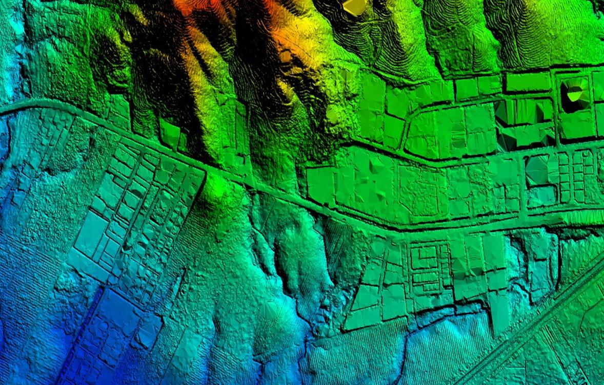
This project aimed to uncover hidden WWII structures near Omaha Beach in Normandy, focusing on a German bunker buried beneath dense vegetation. Using UAV LiDAR technology, the archaeological team surveyed a field over seven hours, generating high-density pointcloud data. This data was transformed into a map, revealing the bare earth surface beneath the vegetation. The LiDAR system allowed precise identification of buried structures otherwise invisible to traditional survey methods, marking a breakthrough in archaeological exploration.

AIRD'ECO-Drone

YELLOWSCAN