CASE STUDY
UAV Integration of Hydrography and Photogrammetry for Maximising Survey Precision
Sector : Natural Resources and Environment, Energy and Utilities I Geography : Europe I Country : Switzerland
Case Study
UAV Integration of Hydrography and Photogrammetry for Maximising Survey Precision
UAV Integration of Hydrography and Photogrammetry for Maximising Survey Precision
Source: GIM International
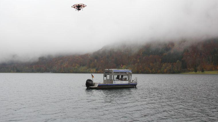
Perched at 848 meters above sea level, Klöntalersee has charmed artists and tourists since 1655. A recent addition of a 220-meter-long and 21.5-meter-high earth bulk dam boosts its water capacity to 39.8 million cubic meters. This enables flexible electricity generation to meet varying demands. IngenieurTeam GEO GmbH conducted pioneering hydrography and photogrammetry techniques to create a detailed 3D model of the reservoir, crucial for accurate capacity assessment and simulations.

IngenieurTeam GEO GmbH

Leica Geosystems AG; Autodesk Inc.