CASE STUDY
SolSpec Revolutionizes Data Processing Time by 60x Using LiDAR Analysis
Sector : Energy and Utilities, Natural Resources and Environment, Public Safety and Security I Geography : North America/Central America/Caribbean I Country : USA
Case Study
SolSpec Revolutionizes Data Processing Time by 60x Using LiDAR Analysis
SolSpec Revolutionizes Data Processing Time by 60x Using LiDAR Analysis
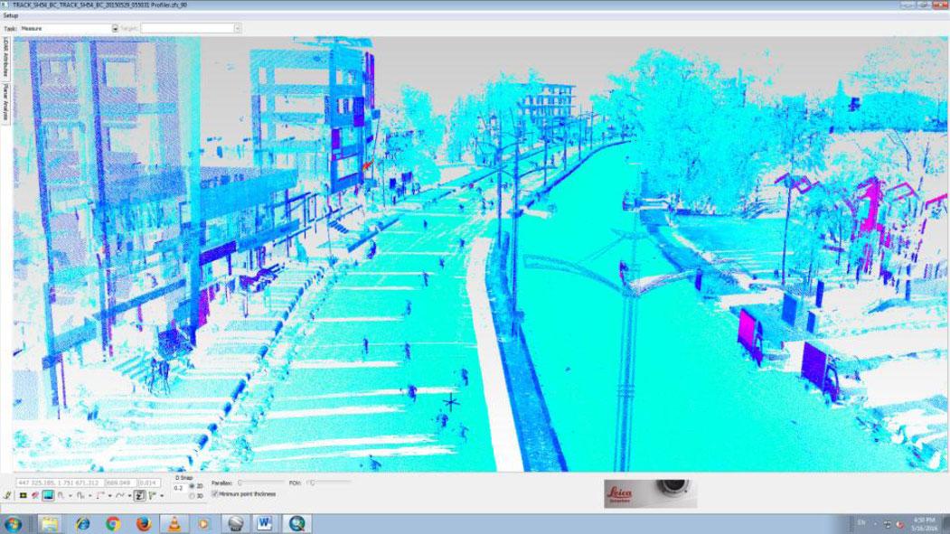
Source: Prashant Surveys
SolSpec, headquartered in Denver, Colorado, embarked upon an innovative and scalable aerial strategy following the procurement of Leica TerrainMapper linear-mode LiDAR sensors. Employing these cutting-edge sensors, the company conducted comprehensive data collection activities, generating high-density point clouds across expansive territories within remarkably condensed timeframes. To streamline data processing endeavors and furnish clients with actionable insights expeditiously, SolSpec engineered the SolSpec Engine. This proprietary system harnesses the power of high-performance computing and machine learning technologies, thus augmenting the company's capacity to derive valuable intelligence from collected data sets.

Teren, Inc

Leica Geosystems AG; Amazon Web Services, Inc.