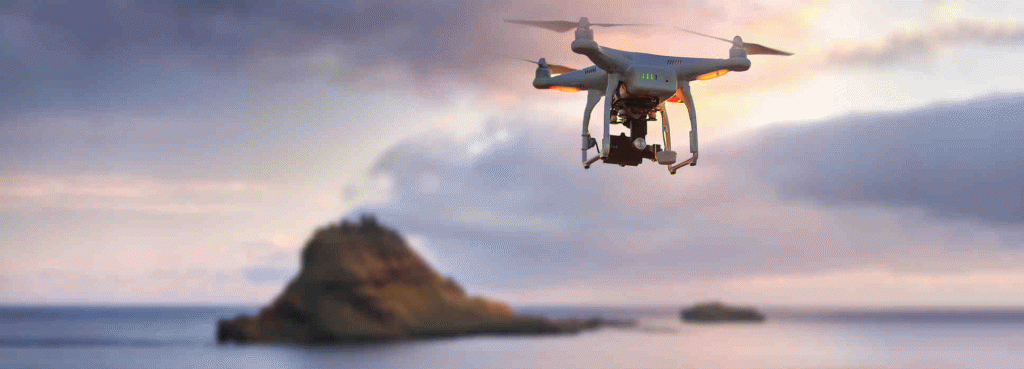
Revolutionizing Mapping: Umhvørvisstovan's UAV Advancements

Source: Visit Faroe Islands
Project Details
The Umhvørvisstovan undertook the ambitious task of mapping and surveying the rugged and remote Faroe Islands employing crewless aerial mapping technology. The project aimed to surmount challenges posed by the islands' inclement weather conditions and limited access to traditional aerial survey methods.
Solutions
Product Used
Value Propositions
Return on Investment (RoI)
GeographyEurope
CountryDenmark

Project Owner
Umhvorvisstovan

Project/Technology Stakeholder
COWI A/S; Nordic Drones; Pix4D SA; AgEagle Aerial Systems Inc
Technology Used
Sector Focus
SDGs
Recognition/ Awards