Rapid Damage Assessment Using PIX4Dcatch RTK Workflow
Source: UNOCHA
Project Details
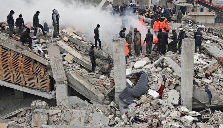
Following the Kahramanmaraş-centered earthquake on February 6, 2023, Atay Mühendislik, based in Ankara, Turkey, swiftly deployed photogrammetry techniques to provide critical information for rescue operations. Coordinated by the Ministry of Environment, Urbanization, and Climate Change, Atay utilized both aerial and terrestrial mapping in the disaster area to assist emergency responders. Three separate teams from Atay were dispatched, with one team employing the PIX4Dcatch RTK workflow for rapid damage assessment on the ground.
Solutions
Product Used
Value Propositions
Return on Investment (RoI)
GeographyMiddle East
CountryTurkey

Project Owner
Ministry of Environment, Urbanisation and Climate Change; Atay Mühendislik Teknik İşlemler San. ve Tic. Ltd. Şti.

Project/Technology Stakeholder
Pix4D SA
Technology Used
Sector Focus
SDGs
Recognition/ Awards