CASE STUDY
Pioneering UAV LiDAR Mapping in Indonesia: Speed, Precision, and Versatility for Complex Terrain
Sector : Natural Resources and Environment I Geography : Asia-Pacific I Country : Indonesia
Case Study
Pioneering UAV LiDAR Mapping in Indonesia: Speed, Precision, and Versatility for Complex Terrain
Pioneering UAV LiDAR Mapping in Indonesia: Speed, Precision, and Versatility for Complex Terrain
Source: YellowScan
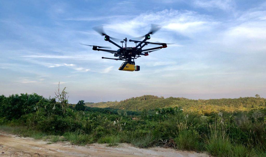
Bali Drone Production, led by Arnaud Denisot, took on a last-minute mission to map 1,100 hectares of rugged, vegetation-dense terrain in Indonesia for a palm oil company transitioning to coal mining. The YellowScan Vx-15 LiDAR system allowed for precise, high-density point cloud generation, enabling accurate mapping even in difficult conditions, such as drizzling weather and remote locations without electricity access.
The project was completed in record time; four days of fieldwork with seven morning flights, covering up to 500 hectares per day. The mapping process produced clean and accurate point clouds that exceeded client expectations, identifying topographical features, including high-voltage lines, with exceptional clarity. The project demonstrated the reliability, speed, and precision of the YellowScan Vx-15 and positioned Bali Drone Production as a key player in Indonesia’s UAV LiDAR survey services.

Bali Drone Production

YELLOWSCAN; DJI
