CASE STUDY
Pioneering Sustainable Mineral Exploration: LiDAR Technology for a Green Mining Future
Sector : Natural Resources and Environment I Geography : Global
Case Study
Pioneering Sustainable Mineral Exploration: LiDAR Technology for a Green Mining Future
Pioneering Sustainable Mineral Exploration: LiDAR Technology for a Green Mining Future
Source: YellowScan
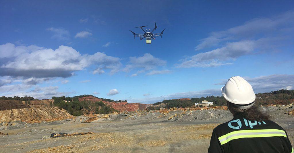
The INFACT project, an EU initiative, integrates cutting-edge technology to foster sustainable mineral exploration, aiding Europe's transition to a low-carbon economy. Aiming to reduce environmental impact while enhancing exploration efficiency, INFACT conducted trials at three reference sites: Geyer Mine (Germany), Sakatti (Finland), and Rio Tinto (Spain).
In these locations, the YellowScan Mapper II, mounted on a DJI M600 Pro drone, provided detailed 3D topographical maps to support mineral exploration efforts. At Rio Tinto, a waste rock dump survey highlighted the utility of LiDAR in characterizing tailings, calibrating magnetic sensors, and georeferencing hyperspectral data. Over 12 flights (15 minutes each) at 40m ATO and 5 m/s, LiDAR data facilitated accurate volume calculations, optimized drilling points, and environmental risk assessments.
By coupling LiDAR with hyperspectral imaging, INFACT demonstrated a robust methodology for non-invasive exploration, critical for locating secondary raw materials in waste stockpiles and mitigating environmental hazards like slope failures and acid mine drainage.

INFACT project

Helmholtz-Zentrum Dresden-Rossendorf e. V. (HZDR); YELLOWSCAN; DJI; Trimble Inc.