CASE STUDY
Operationalising Integrated Cadastre and Topographic Data for a Fully Digital Census in Slovakia
Sector : Location-Based Services, National Mapping I Geography : Europe I Country : Slovakia
Case Study
Operationalising Integrated Cadastre and Topographic Data for a Fully Digital Census in Slovakia
Operationalising Integrated Cadastre and Topographic Data for a Fully Digital Census in Slovakia
Source: Eurogeographics
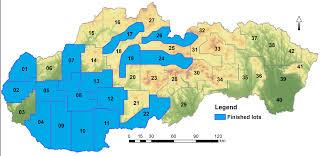
The Geodesy, Cartography and Cadastre Authority of the Slovak Republic (UGKK SR) provided topographic and real estate cadastre data to the Statistical Office in support of the fully electronic 2021 Population and Housing Census. By delivering spatial data layers from both the cadastre and topographic database, enriched with ortho-photomosaics, the project enabled accurate identification of all inhabited and habitable objects across Slovakia. The datasets were integrated into the Address Register and provided as a spatial basis down to the address-point level. Field staff conducting census activities used web and mobile applications with these layers for quick orientation, while residents were able to confirm their housing information, such as flat numbers, directly linked to cadastral data.

Úrad geodézie, kartografie a katastra SR

Statistical Office of the SR