Mapping the Subterranean: UK's First Combined Underground Infrastructure Map

Source: Mappitall
Project Details
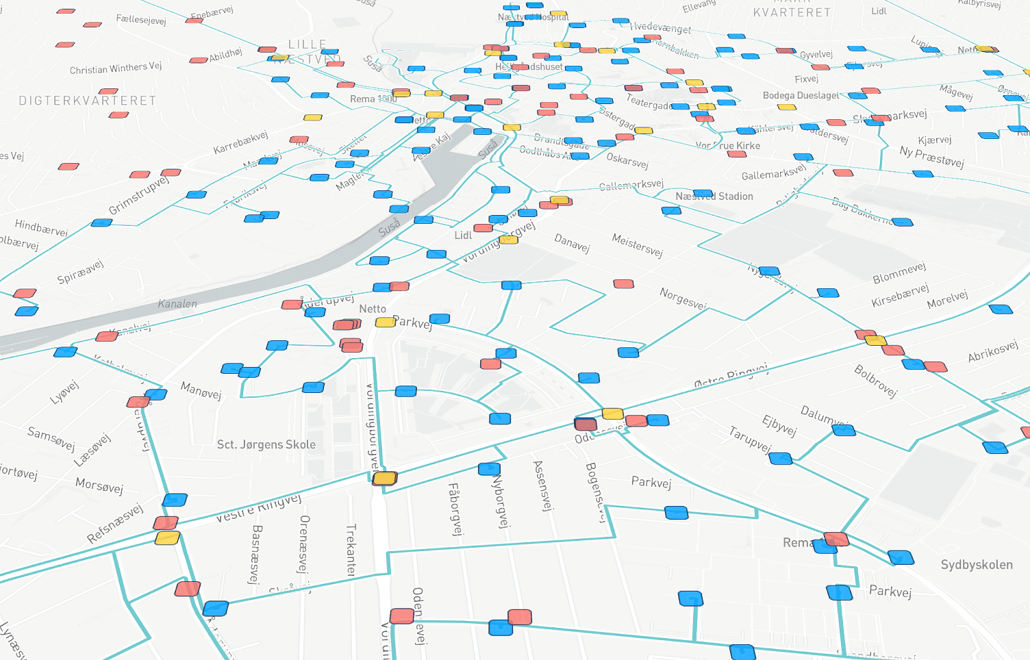
Northumbrian Water provides water and wastewater services to slightly fewer than 4.4 million people. In 2018, OS was tasked with creating the UK's first combined underground infrastructure map, which includes information on water, wastewater, gas, electricity, telecoms, and other subterranean services and datasets. This combined utilities map allows planners and excavation teams to precisely locate underground assets.
Solutions
Product Used
Value Propositions
Return on Investment (RoI)
GeographyEurope
CountryUK

Project Owner
Northumbrian Water Limited

Project/Technology Stakeholder
Ordnance Survey
Technology Used
Sector Focus
SDGs
Recognition/ Awards