Leveraging Satellite Imagery for Enhancing Agricultural Development in Niger
Source: Landsat Science - NASA
Project Details
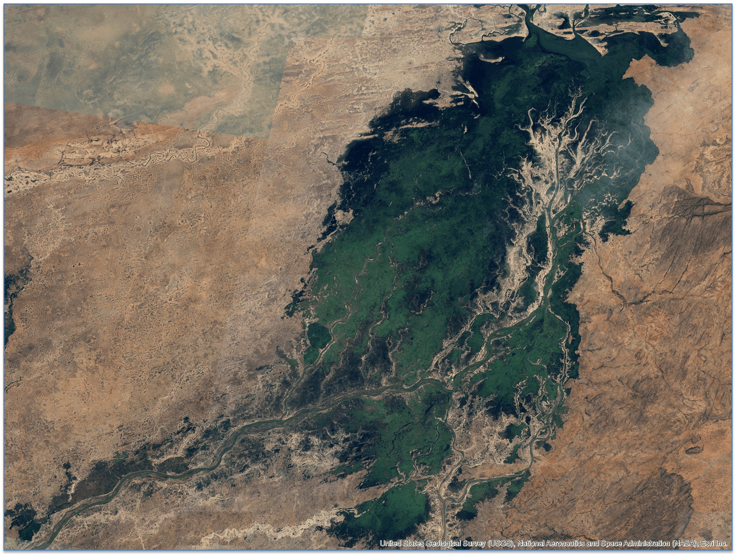
KfW, acting on behalf of the German Federal Ministry for Economic Cooperation and Development, financed the rehabilitation of irrigation infrastructure along the Niger River to enhance agricultural production and food security. Monitoring the project's implementation and assessing its impact necessitated geospatial information derived from satellite imagery, particularly following substantial damage to the region due to heavy flooding in 2020.
Solutions
Product Used
Value Propositions
Return on Investment (RoI)
GeographyAfrica
Country

Project Owner
KfW, Frankfurt am Main

Project/Technology Stakeholder
UP42 GmbH
Technology Used
Sector Focus
SDGs
Recognition/ Awards