CASE STUDY
Leveraging Photogrammetry for Enhanced Flood and Erosion Risk Management in Wales
Sector : Natural Resources and Environment, Public Safety and Security I Geography : Europe I Country : UK
Case Study
Leveraging Photogrammetry for Enhanced Flood and Erosion Risk Management in Wales
Leveraging Photogrammetry for Enhanced Flood and Erosion Risk Management in Wales
Source: Diospatial
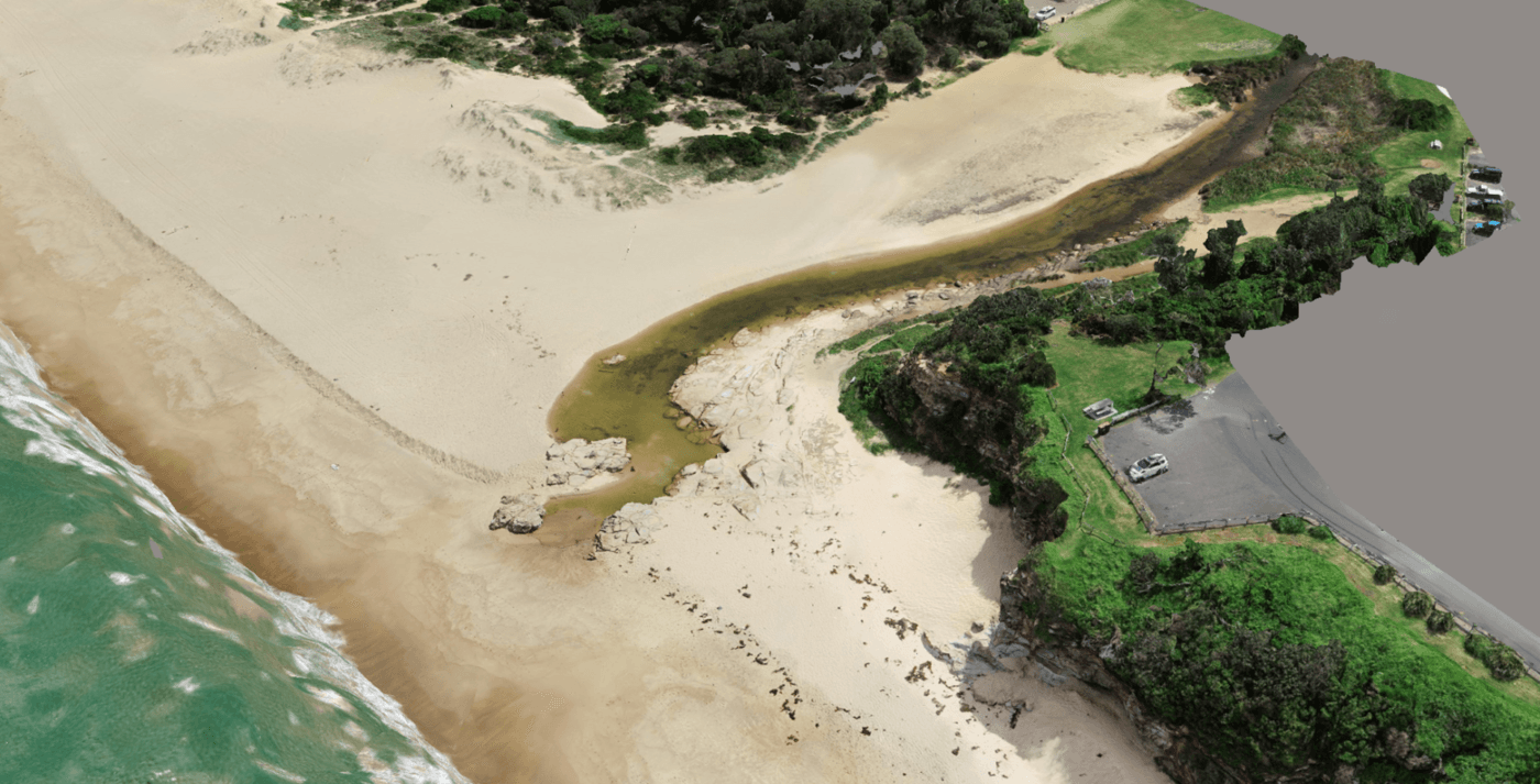
The WCMC, funded by the Welsh government, undertakes annual baseline surveys across the Welsh coastline using drones and Pix4D software. These surveys aim to monitor erosion, assess flood risk, and inform coastal management decisions in the face of rising sea levels due to climate change. By leveraging photogrammetry, WCMC conducts topographic profile surveys, captures sea wall conditions, and engages in the CoastSNAP citizen science project to monitor coastal changes over time. PIX4Dcloud’s comparison mode enables trend analysis by comparing datasets, providing valuable insights for national and local-level government decision-making on Flood and Coastal Erosion Risk Management (FCERM) strategies.

Wales Coastal Monitoring Centre (WCMC & YGC)

Pix4D SA