CASE STUDY
Leveraging ITpipes Integration and Spatial Analytics for Transforming Stormwater Management
Sector : Energy and Utilities I Geography : North America/Central America/Caribbean I Country : USA
Case Study
Leveraging ITpipes Integration and Spatial Analytics for Transforming Stormwater Management
Leveraging ITpipes Integration and Spatial Analytics for Transforming Stormwater Management
Source: Loveland Economic Development
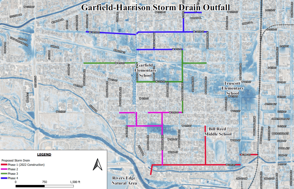
The City of Loveland faced challenges with its storm sewer system, exacerbated by heavy rains and floods, necessitating inspections to safeguard both the city and the environmentally sensitive Big Thompson River. With outdated GIS data and limited resources, Loveland sought to enhance its storm sewer management through efficient data collection and integration into Esri ArcGIS. Partnering with ITpipes, the city initiated a stormwater sewer inspection program to address the deficiencies.

Esri

ITpipes