CASE STUDY
Leveraging Geophysical Survey for mapping ocean bathymetry as a part of the MAREANO program
Sector : National Mapping, Natural Resources and Environment I Geography : Europe I Country : Norway
Case Study
Leveraging Geophysical Survey for mapping ocean bathymetry as a part of the MAREANO program
Leveraging Geophysical Survey for mapping ocean bathymetry as a part of the MAREANO program
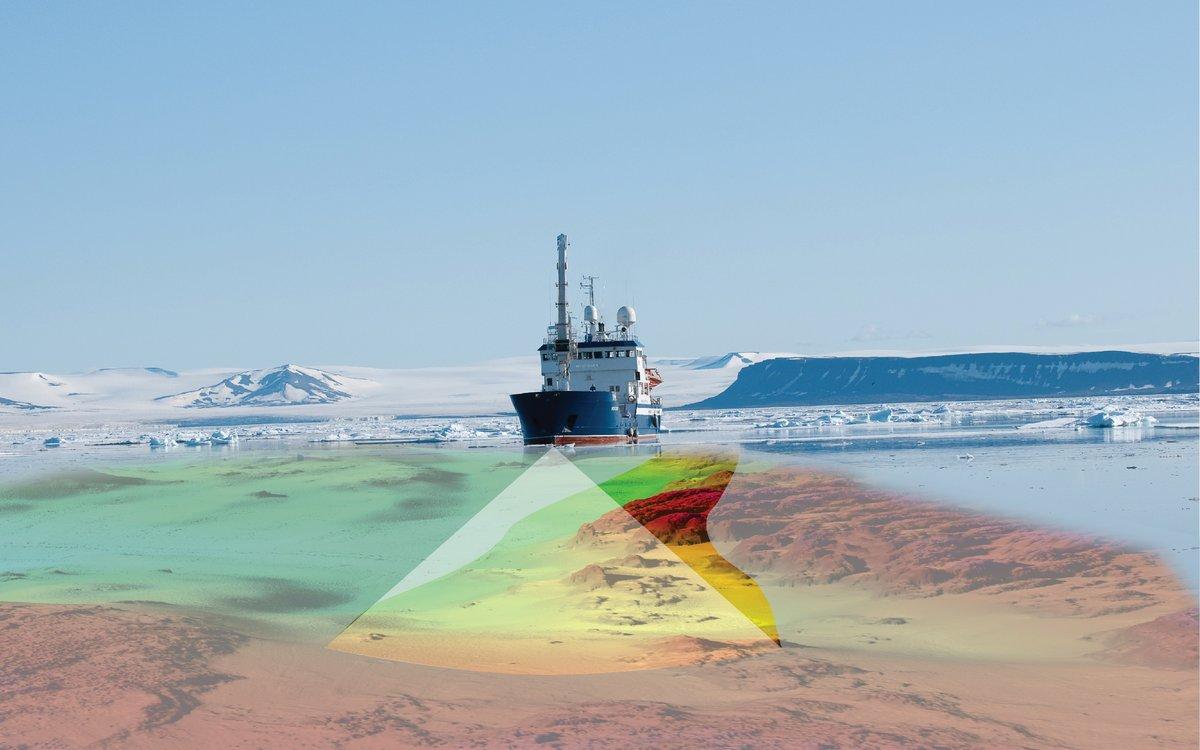
Source: Mareano
Fugro has secured a hydrographic survey contract for the 2023 MAREANO seabed mapping program from the Norwegian Hydrographic Service (NHS). This survey, covering a region in the North Sea spanning 2,887 km2, is aimed at gathering high-quality, seamless datasets that integrate bathymetry and acoustic backscatter data. The primary goal is to enhance understanding of the marine environment.

Norwegian Mapping Authority (Kartverket)

Fugro
