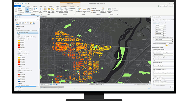
Kadaster Bonaire Enhances Land Registry Efficiency with ArcGIS Pro Implementation

Source: Esri
Project Details
Stichting Kadaster & Hypotheekwezen Bonaire (KBH) manages parcel information for over 13,000 parcels spanning 68,500 acres on the Dutch Caribbean Island of Bonaire. To enhance accuracy and streamline workflows, KBH sought to upgrade its parcel management system. Having attended Esri User Conferences and received ArcGIS Pro training, KBH opted to transition to ArcGIS Pro for improved data accuracy, workflow efficiency, and accessibility.
Solutions
Product Used
Value Propositions
Return on Investment (RoI)
GeographyEurope
CountryNetherlands

Project Owner
Kadaster Bonaire

Project/Technology Stakeholder
Esri; GIS4C
Technology Used
Sector Focus
SDGs
Recognition/ Awards