Improving Marine Dredging Efficiency and Sustainability through Advanced GNSS
Source: Veripos
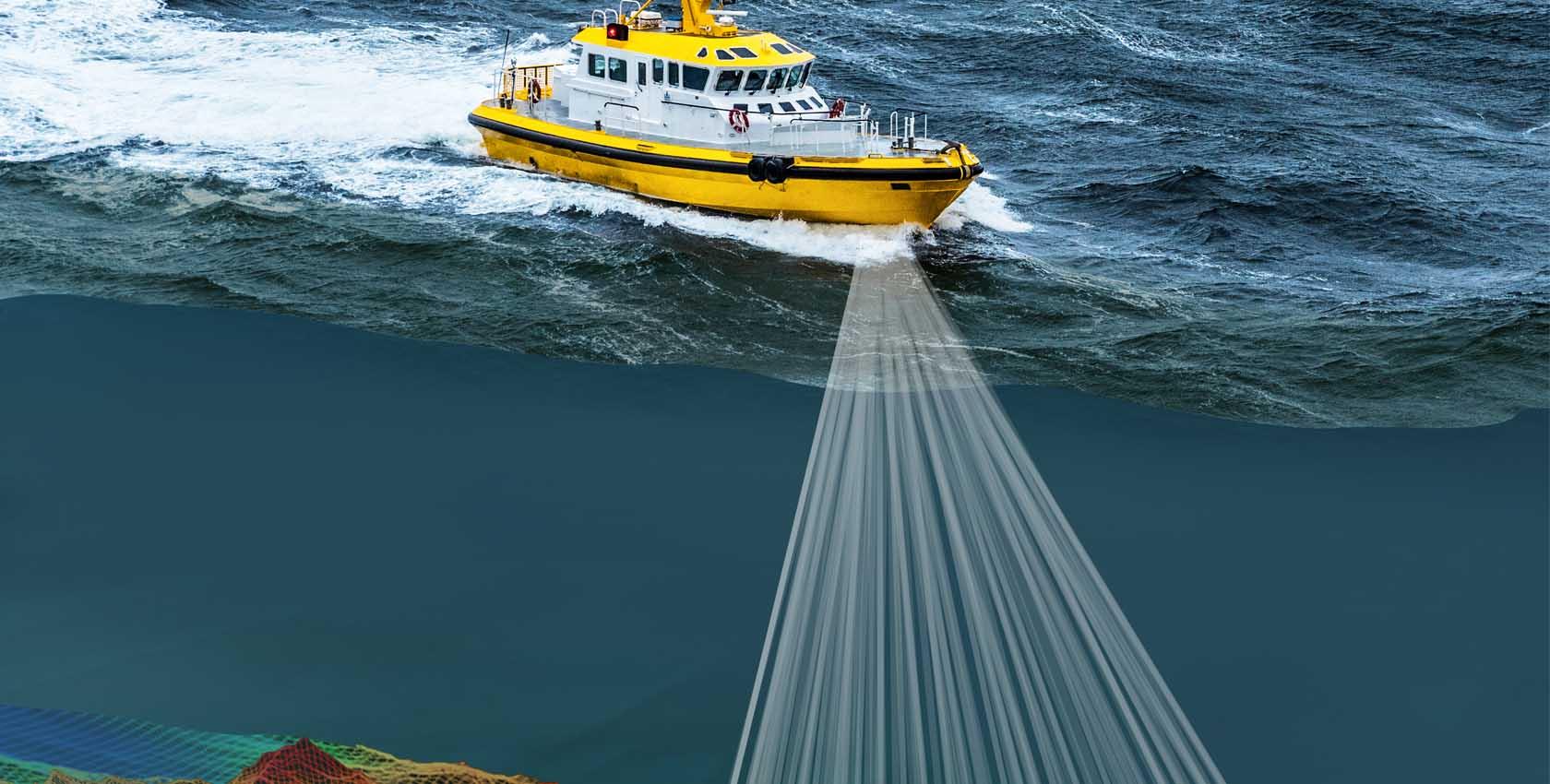
DEME, a prominent marine engineering company specializing in dredging operations, encountered interference issues disrupting their GNSS signals crucial for precise positioning during dredging. To address this challenge, DEME implemented advanced interference mitigation techniques, notably AIM+, alongside high-accuracy GNSS receivers provided by Septentrio. These solutions effectively filtered out interference, ensuring uninterrupted dredging operations and enhancing efficiency, precision, and sustainability in marine engineering endeavors. This project underscores the pivotal role of geospatial technology in overcoming operational hurdles within the maritime industry, enabling continued progress and environmental stewardship amidst dynamic marine environments.

DEME NV

Septentrio N.V.