CASE STUDY
Harnessing LiDAR for 3D Mapping and Exploration of Grand Caverns in the USA
Sector : Natural Resources and Environment I Geography : North America/Central America/Caribbean I Country : USA
Case Study
Harnessing LiDAR for 3D Mapping and Exploration of Grand Caverns in the USA
Harnessing LiDAR for 3D Mapping and Exploration of Grand Caverns in the USA
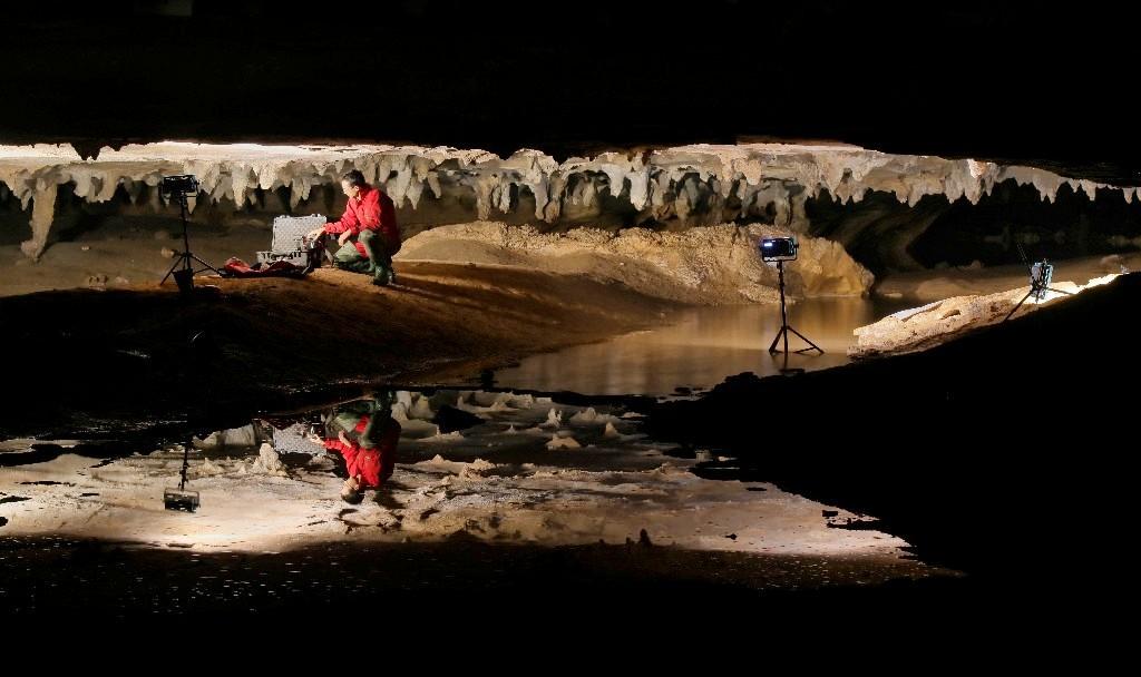
Source: Ancient Art Archive
Grand Caverns, the oldest show cave in the USA, holds a rich history dating back to its discovery in 1804. Partnering with James Madison University, the town of Grottoes embarked on a project to create a comprehensive 3D map of the cave. The primary objective was to measure speleothems, study changes in rock formations, and showcase the human impact on the cave's environment and history. Utilizing mobile LiDAR technology, the team aimed to capture detailed 3D data of both public and recently discovered passages within the cave, offering students practical experience and enabling scientific exploration.

Town of Grottoes

JAMES MADISON UNIVERSITY