CASE STUDY
GIS-Driven Cave Rescue Mission: Thailand Soccer Team
Sector : Natural Resources and Environment, Public Safety and Security I Geography : Asia-Pacific I Country : Thailand
Case Study
GIS-Driven Cave Rescue Mission: Thailand Soccer Team
GIS-Driven Cave Rescue Mission: Thailand Soccer Team
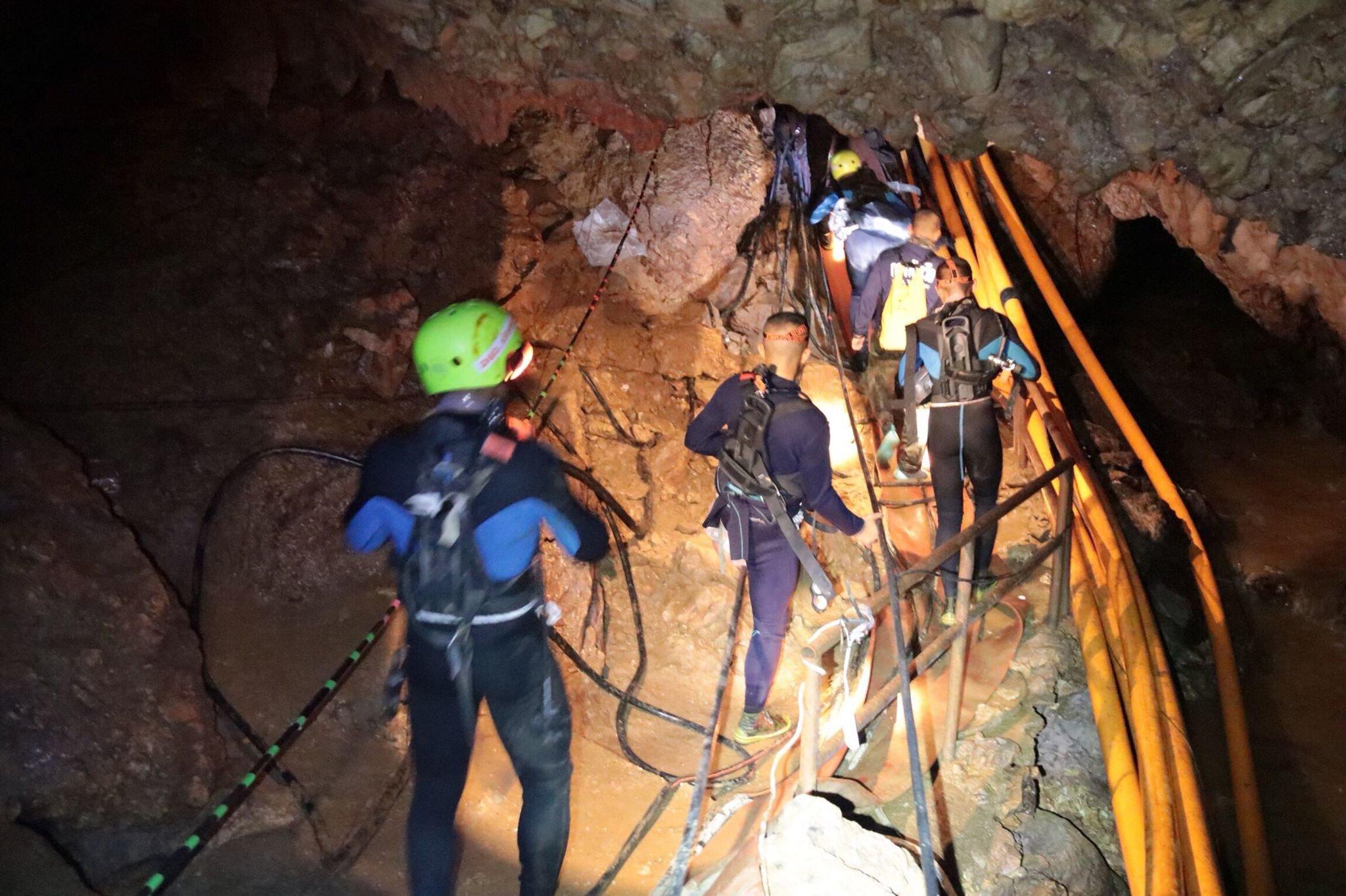
Source: NYTimes.com
In June 2018, the world was gripped by the plight of 12 boys and their coach trapped in the Tham Luang cave in northern Thailand during monsoon rains. As the mission escalated into a high-stakes international rescue effort, GIS technology emerged as a cornerstone of planning and execution. Esri Thailand, the Thailand Department of Mineral Resources (DMR), and GIS Company joined forces to map the intricate cave system, integrating 3D data, geological surveys, and surface water analysis to guide operations.
GIS-based maps enabled responders to visualize underground cave passages, locate water sources feeding the cave, and identify sinkholes that could be leveraged for water diversion. Advanced mapping techniques supported the construction of dams and pipelines, which helped reduce water levels inside the cave, creating safer conditions for divers. Coordinating thousands of international responders, the operation used GIS to track weather, monitor water levels, and evaluate rescue strategies in real time. After 18 tense days, all 13 members of the soccer team were rescued, showcasing the life-saving potential of cutting-edge geospatial technology.

Department of Mineral Resources, Ministry of Natural Resources and Environment, Thailand

Esri Thailand; Royal Irrigation Department; Department of National Parks, Wildlife and Plant Conservation, Thailand; Royal Thai Army; Royal Thai Survey Department
