CASE STUDY
GIS Property Tagging Boosts Property Tax Collection by 20%
Sector : Architecture Engineering and Construction, Governance I Geography : Asia-Pacific I Country : India
Case Study
GIS Property Tagging Boosts Property Tax Collection by 20%
GIS Property Tagging Boosts Property Tax Collection by 20%
Source: YCSPL
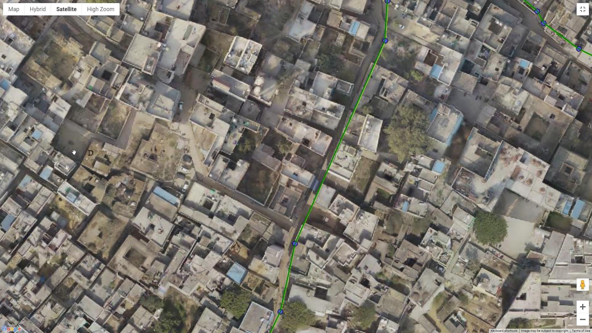
The Integrated GIS and Image Processing Platform project aimed to create a complete web-based GIS application for SMC that would be used for planning, management, and governance across the organization as a whole. Scanpoint Geomatics Ltd. applied the solution to their in-house GIS and image processing platform, IGiS. Using HRSI (High-resolution satellite imagery), a thorough GIS base map was produced that included crucial layers such as property data at the household level, the road network, and utility systems like storm water, sewage, and water supply. For use in planning, operations, decision support, and citizen engagement, a customized Web-based GIS application was made available to several SMC departments.

Surat Municipal Corporation

Scanpoint Geomatics Limited