CASE STUDY
Geospatial Solutions for Driving Efficiency and Transport Optimization in West Midlands
Sector : Architecture Engineering and Construction, Location-Based Services I Geography : Europe I Country : UK
Case Study
Geospatial Solutions for Driving Efficiency and Transport Optimization in West Midlands
Geospatial Solutions for Driving Efficiency and Transport Optimization in West Midlands
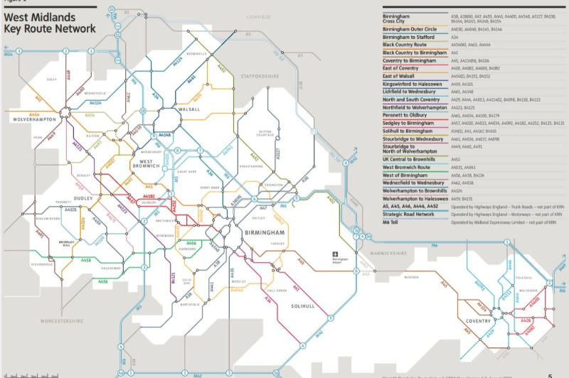
Source: Transport for West Midlands
Transport for West Midlands undertook an initiative to establish a world-class transport network, leveraging advanced geospatial technologies. Collaborating with Ordnance Survey (OS) through the Public Sector Geospatial Agreement (PSGA), the project aims to overcome critical challenges in infrastructure planning and decision-making. By harnessing detailed geospatial data and innovative methodologies, Transport for West Midlands seeks to optimize resource allocation, streamline project execution, and ultimately pave the way for a sustainable and efficient urban transportation system. This project explores the pivotal role of geospatial technologies in propelling the region towards its vision of transport excellence.

West Midlands Combined Authority

Ordnance Survey; Geospatial Commission, UK
