CASE STUDY
Geo-ICT Used to Create Odisha’s Forest Management System
Sector : Natural Resources and Environment I Geography : Asia-Pacific I Country : India
Case Study
Geo-ICT Used to Create Odisha’s Forest Management System
Geo-ICT Used to Create Odisha’s Forest Management System
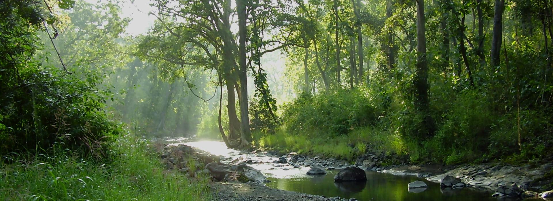
Source: Odisha Tourism
Odisha’s Forest Information Technology and Geomatics Centre oversees the implementation of projects regarding forest-related services with the use of Geospatial technologies. The described project is one such undertaking. This project was developed after an entire database of the state’s forests was created. It involves the use of Geo-ICT- Geo-Information Communication Technology for digital monitoring of various forestry activities in Odisha, including foot patrolling, plantation, and nursery work, selection of afforestation sites, forest fire monitoring, wildlife habitat management, and surveying areas approved under the Forest Right Act.

Forest, Environment and Climate Change Department, Odisha

Odisha Space Applications Centre (ORSAC)
