CASE STUDY
GeoAI-Driven Solar Potential Mapping for Accelerating Energy Transition in the Netherlands
Sector : Energy and Utilities, National Mapping I Geography : Europe I Country : Netherlands
Case Study
GeoAI-Driven Solar Potential Mapping for Accelerating Energy Transition in the Netherlands
GeoAI-Driven Solar Potential Mapping for Accelerating Energy Transition in the Netherlands
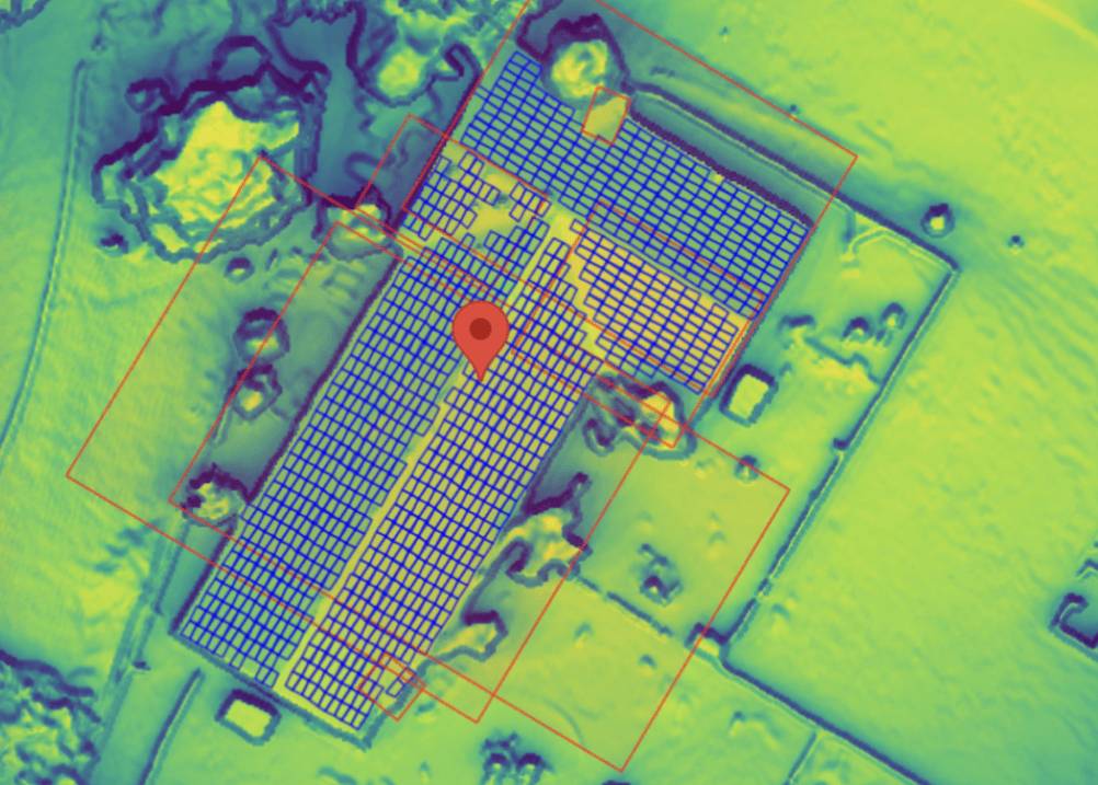
Source: Google Maps Platform
The Netherlands Cadastre, Land Registry and Mapping Agency (Kadaster) developed a national-scale database identifying rooftop solar potential and existing solar PV installations. Using high-resolution elevation data and very high-resolution aerial imagery, the project assessed available rooftop areas for solar energy generation and detected existing solar panels through deep learning models. The outcomes supported Regional Energy Strategy (RES) regions in aligning with Climate Agreement targets by providing accurate, spatially explicit data on solar potential. By integrating advanced GeoAI methods with authoritative cadastral datasets, Kadaster provided policymakers with actionable insights for informed energy transition planning.

Kadaster