CASE STUDY
Enhancing Solar Farm Planning and Safety Through Geospatial Solutions in Flood-Prone Regions
Sector : Public Safety and Security I Geography : North America/Central America/Caribbean I Country : USA
Case Study
Enhancing Solar Farm Planning and Safety Through Geospatial Solutions in Flood-Prone Regions
Enhancing Solar Farm Planning and Safety Through Geospatial Solutions in Flood-Prone Regions
Source: Septentrio
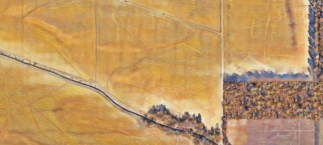
In flood-prone regions of Illinois, United States, a recent project grappled with the challenge of mapping extensive floodplains with unmatched precision. Bacon Farmer Workman Engineering and Testing Inc. (BFW) embarked on a mission to revolutionize infrastructure planning by deploying cutting-edge solutions. Employing VTOL drones equipped with advanced GNSS receivers and high-resolution cameras, the team conducted aerial surveys, navigating through terrain complexities and adverse weather conditions. By implementing real-time kinematic (RTK) and post-processing kinematic (PPK) workflows, they achieved centimeter-level accuracy, essential for optimizing the placement of a solar farm. This innovative approach not only yielded unparalleled precision but also ensured cost-efficiency, safety, and sustainability in infrastructure development.

BFW/Marcum

Septentrio N.V.; Wingtra AG; Sony Group Corporation