Enhancing Northumbrian Water Group Workflow with Geoprocessing Tools
Source: Esri
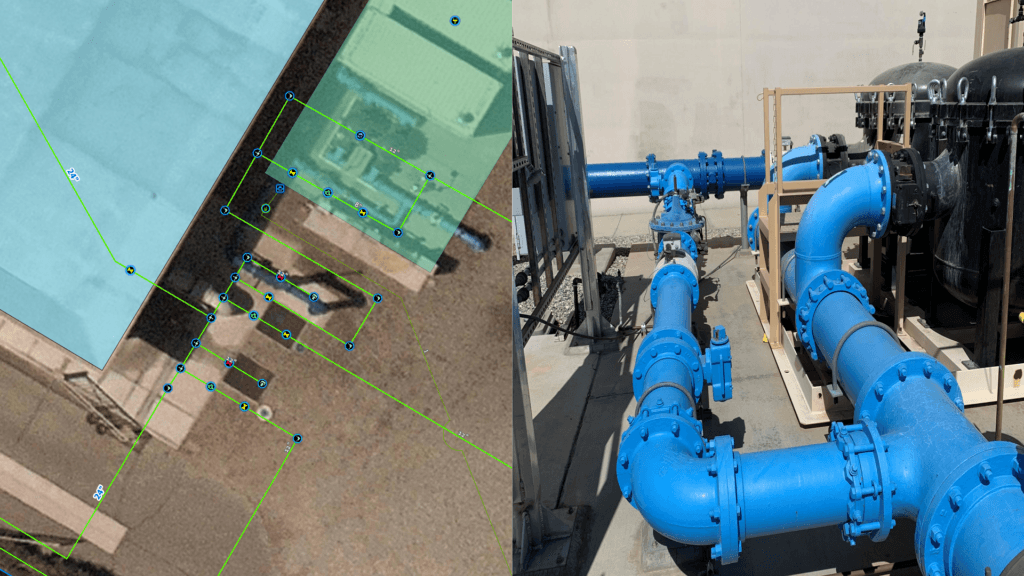
Northumbrian Water Group (NWG) serves as the umbrella organization for multiple entities operating within the water supply, sewerage, and wastewater sectors. Its primary subsidiary, Northumbrian Water Limited (NWL), stands as one of the ten regulated water supply and sewerage utilities in England and Wales. NWL functions as the predominant water supplier in the north-east region of England under the brand Northumbrian Water, while also serving parts of eastern England through Essex and Suffolk Water. While Northumbrian Water Limited had already acquired new ESRI GIS technology, their focus shifted towards optimizing its implementation to maximize architectural efficiency and effectiveness.

Northumbrian Water Group Limited

MGISS (Mobile GIS Services); Esri UK