CASE STUDY
Enhancing Alpine Safety Using Geospatial Technologies for Hazard Detection and Mitigation
Sector : Natural Resources and Environment, Public Safety and Security I Geography : Europe I Country : Switzerland
Case Study
Enhancing Alpine Safety Using Geospatial Technologies for Hazard Detection and Mitigation
Enhancing Alpine Safety Using Geospatial Technologies for Hazard Detection and Mitigation
Source: GEOPREVENT
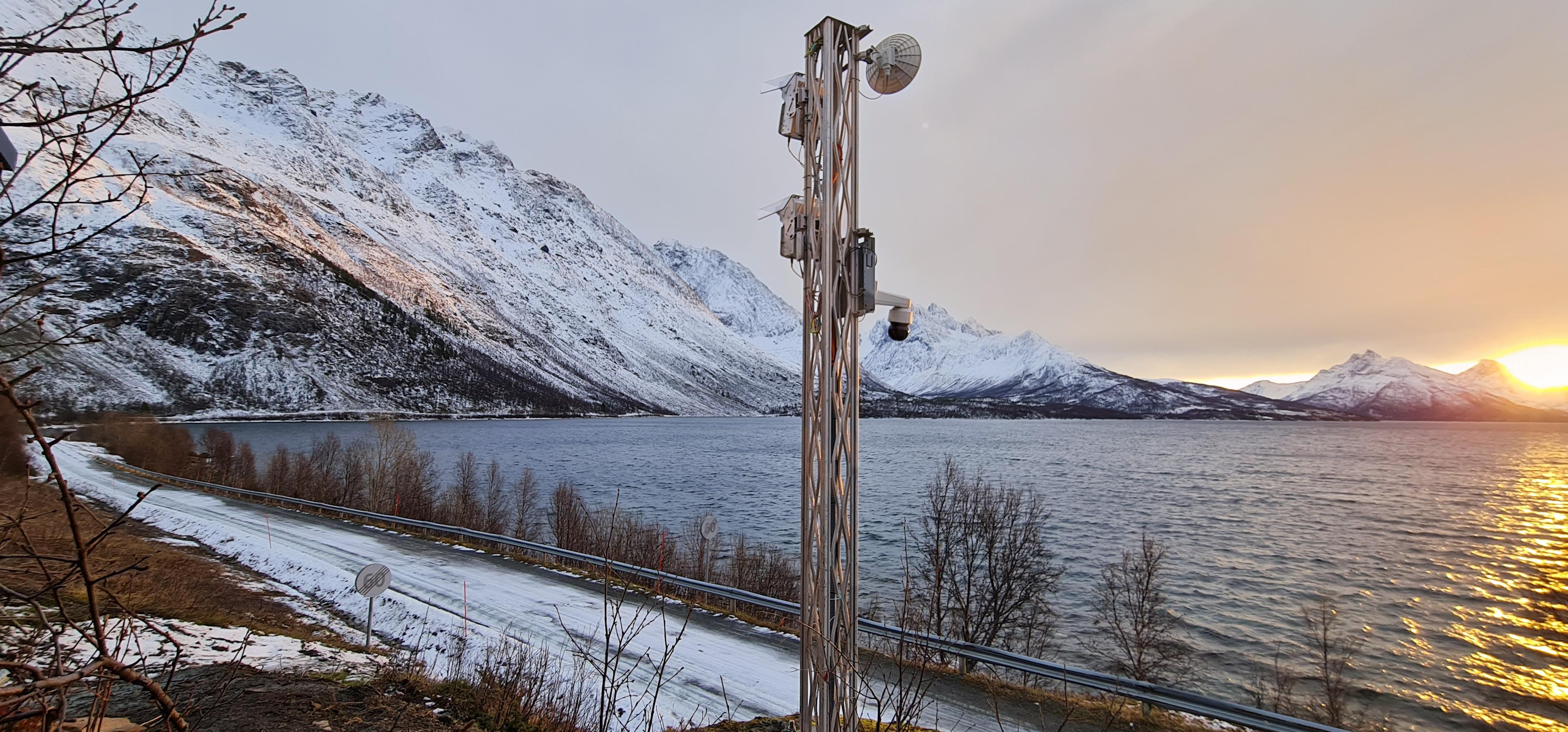
In the face of increasing natural hazards, particularly in alpine environments, proactive measures are essential for safeguarding communities and infrastructure. The Swiss Alps aimed to anticipate ice avalanches using advanced geospatial technologies. Led by Geopraevent and IDS GeoRadar, the project utilizes interferometric radar and high-definition cameras to monitor glacier movements in real-time. By analyzing precise data, early warnings are issued to at-risk communities, minimizing damage and saving lives. Continuous monitoring and advanced data processing also enable long-term hazard assessment and informed decision-making for sustainable development. This project demonstrates the effectiveness of geospatial technologies in mitigating the risks associated with natural hazards in alpine environments.

Swiss Federal Institute for Forest, Snow and Landscape Research WSL; Eidgenössische Technische Hochschule Zürich

GEOPREVENT; IDS GeoRadar