CASE STUDY
Empowering Environmental Stewardship through Geospatial Insights
Sector : Natural Resources and Environment I Geography : Europe I Country : UK
Case Study
Empowering Environmental Stewardship through Geospatial Insights
Empowering Environmental Stewardship through Geospatial Insights
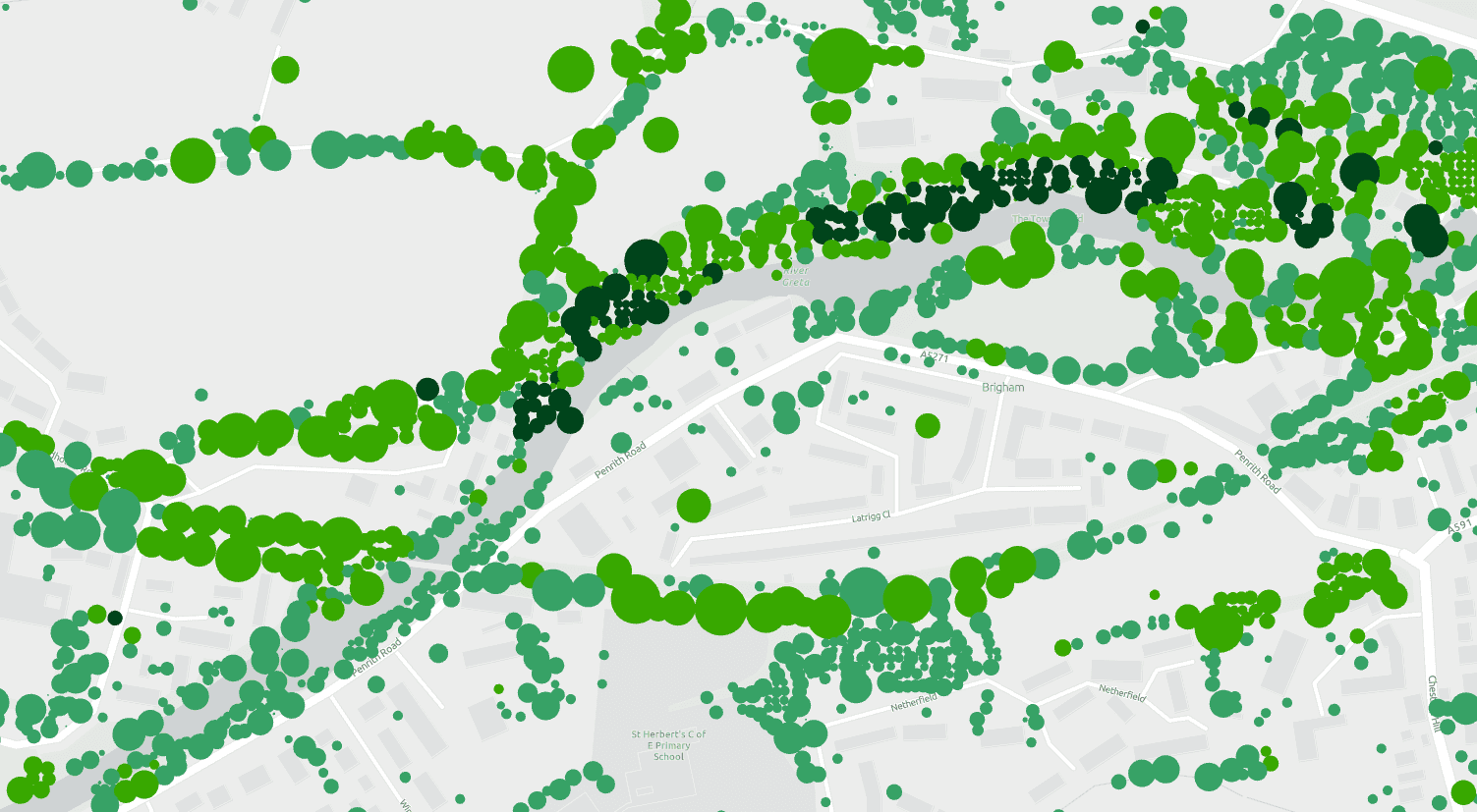
Source: Esri UK
Natural Capital Research (NCR), in collaboration with Bluesky International Ltd, has developed an innovative geospatial solution called NatCap Map. This pioneering project addresses the critical need for effective natural capital management in the United Kingdom. Through advanced geospatial technologies such as high-resolution aerial photography and LiDAR, NatCap Map provides stakeholders with unprecedented insights into the country's natural assets. Leveraging GIS software and algorithms, the platform integrates diverse datasets, including the National Tree Map, to offer comprehensive analysis and visualization of ecosystem services. NatCap Map empowers organizations, ranging from National Parks to utility companies and private landowners, to make informed decisions for enhancing environmental sustainability and maximizing the value of natural capital assets. With its scalable and accessible online interface, NatCap Map is revolutionizing how stakeholders engage with and manage the UK's natural resources, driving positive impacts for both the environment and the economy.

natcap

Bluesky International Ltd; Esri