CASE STUDY
Efficient and Sustainable Geospatial Data Delivery Enhances Construction Project Performance
Sector : Energy and Utilities I Geography : Europe I Country : Norway
Case Study
Efficient and Sustainable Geospatial Data Delivery Enhances Construction Project Performance
Efficient and Sustainable Geospatial Data Delivery Enhances Construction Project Performance
Source: SkySpecs
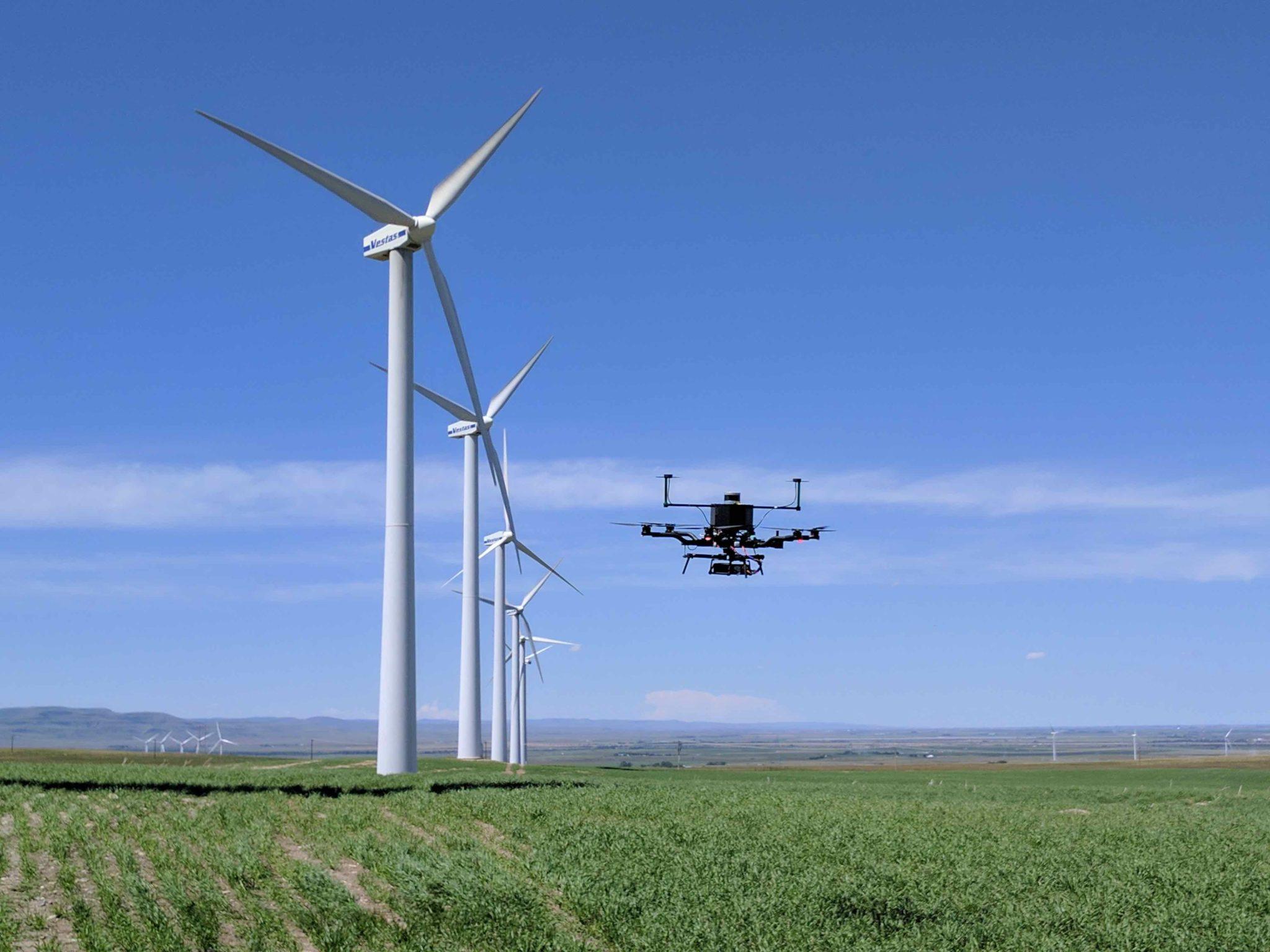
Veidekke, a Scandinavian contractor, completed construction work at the Øyfjellet Wind Power Park in mid-2023. The project involved constructing 65 kilometers of roads and establishing 72 turbine sites in a mountainous area at approximately 700 meters altitude. The field was tasked with laser scanning the construction area to deliver detailed geospatial data, including road edges, ditches, cutoffs, and fill footings as line objects and 3D models. The accuracy requirements were set at +/- 5 cm with a maximum point density of 5 cm between each point.

Veidekke

Field
