Advancing Marine Research Through Drone Mapping in Norway
Source: NIVA/Spectrofly
Project Details
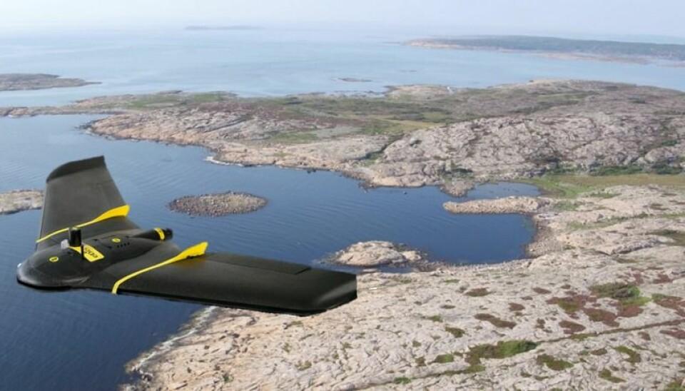
In Norway, specialized teams are utilizing drone-based research to monitor marine ecosystems and habitats through projects such as SeaBee and MASSIMAL. Focusing on coastal blue forest systems including seagrass meadows, kelp forests, and rockweed beds, the teams aim to establish new mapping practices using drones and specialized sensors. This involves gathering data to characterize coastal habitats using machine learning algorithms and photogrammetry software.
Solutions
Product Used
Value Propositions
Return on Investment (RoI)
GeographyEurope
CountryNorway

Project Owner
SPECTROFLY.DK

Project/Technology Stakeholder
Pix4D SA; Grid Arendal (SeaBee Research Infrastructure)
Technology Used
Sector Focus
SDGs
Recognition/ Awards