CASE STUDY
Advanced LiDAR Mapping Solutions for Efficient and Safe Mining Operations
Sector : Natural Resources and Environment I Geography : North America/Central America/Caribbean I Country : Canada
Case Study
Advanced LiDAR Mapping Solutions for Efficient and Safe Mining Operations
Advanced LiDAR Mapping Solutions for Efficient and Safe Mining Operations
Source: Centers for Disease Control and Prevention
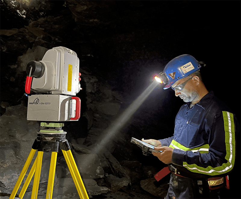
McElhanney Consulting Services Ltd. implemented two new bare-earth mapping services tailored for the exploration and exploitation phases of the mining industry. The first application involved using LiDAR technology to identify surface structures and lineaments crucial for geological mapping in a gold mining district of British Columbia. The second application focused on monitoring ground subsidence in potash mines in Saskatchewan.

McElhanney

Leica Geosystems AG